370823 NIMA CHART
IMPA Code:
370823
UOM:
SHT
MTML UOM:
ST
Most popular charts are listed below without chart numbers. When ordering, specify the type and number of the chart required.
Suppliers for this item
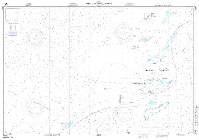
NGA Chart 93044: Yongshu Jiao to Yongdeng Ansha (South China Sea)
Part No:NA
IMPA:370823
NGA Chart 93044: Yongshu Jiao to Yongdeng Ansha (South China Sea)
American Nautical Services, Inc.
Serves 54 ports
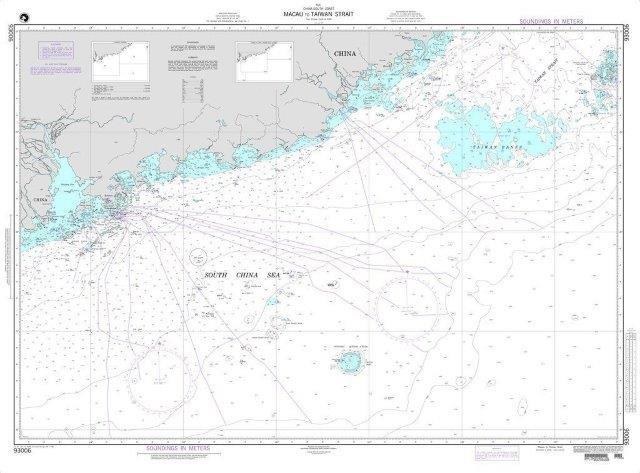
NGA Chart 93006: Macau to Taiwan Strait
Part No:NA
IMPA:370823
NGA Chart 93006: Macau to Taiwan Strait
American Nautical Services, Inc.
Serves 54 ports
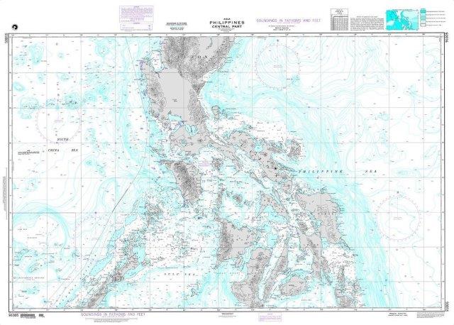
NGA Chart 91005: Philippines-Central Part (BATHYMETRIC CHART)
Part No:NA
IMPA:370823
NGA Chart 91005: Philippines-Central Part (BATHYMETRIC CHART)
American Nautical Services, Inc.
Serves 54 ports
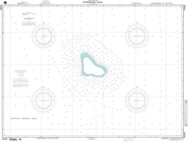
NGA Chart 91004: Scarborough Shoal (South China Sea)
Part No:NA
IMPA:370823
NGA Chart 91004: Scarborough Shoal (South China Sea)
American Nautical Services, Inc.
Serves 54 ports
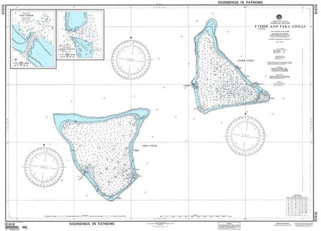
NGA Chart 81616: Utirik and Taka Atolls (Marshall Islands)
Part No:NA
IMPA:370823
NGA Chart 81616: Utirik and Taka Atolls (Marshall Islands)
American Nautical Services, Inc.
Serves 54 ports
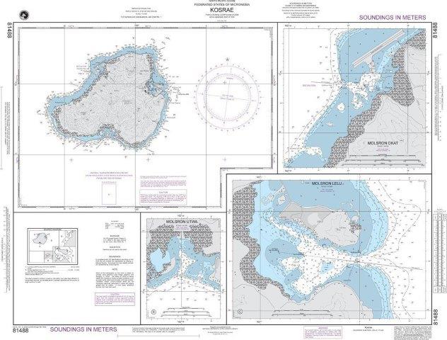
NGA Chart 81488: Kosrae Island (Caroline Islands)
Part No:NA
IMPA:370823
NGA Chart 81488: Kosrae Island (Caroline Islands)
American Nautical Services, Inc.
Serves 54 ports
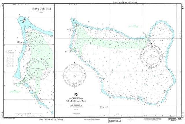
NGA Chart 81411: Oroluk Lagoon (East Caroline Islands)
Part No:NA
IMPA:370823
NGA Chart 81411: Oroluk Lagoon (East Caroline Islands)
American Nautical Services, Inc.
Serves 54 ports
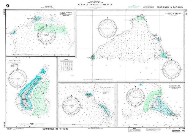
NGA Chart 81288: Plans of Namonuito Islands (East Caroline Islands)
Part No:NA
IMPA:370823
NGA Chart 81288: Plans of Namonuito Islands (East Caroline Islands)
American Nautical Services, Inc.
Serves 54 ports
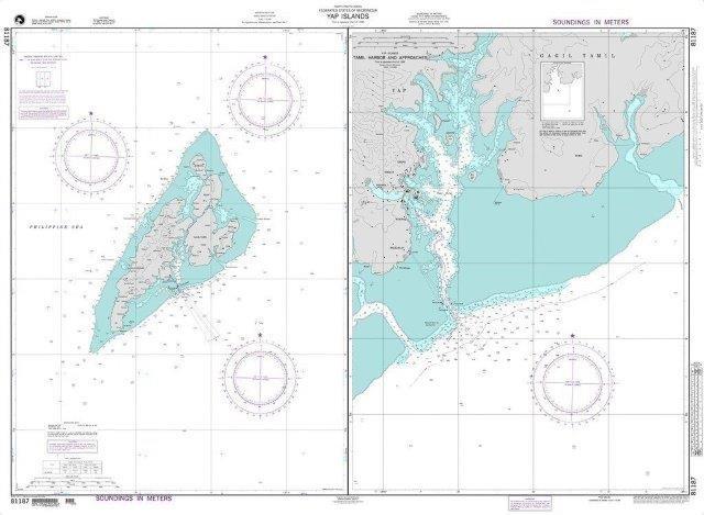
NGA Chart 81187: Yap Islands (Caroline Islands)
Part No:NA
IMPA:370823
NGA Chart 81187: Yap Islands (Caroline Islands)
American Nautical Services, Inc.
Serves 54 ports
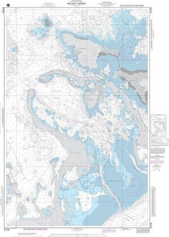
NGA Chart 81155: Malakal Harbor (Palau Islands)
Part No:NA
IMPA:370823
NGA Chart 81155: Malakal Harbor (Palau Islands)
American Nautical Services, Inc.
Serves 54 ports
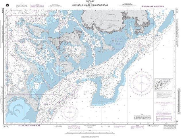
NGA Chart 81151: Arangel Channel and Koror Road (Palau Islands)
Part No:NA
IMPA:370823
NGA Chart 81151: Arangel Channel and Koror Road (Palau Islands)
American Nautical Services, Inc.
Serves 54 ports
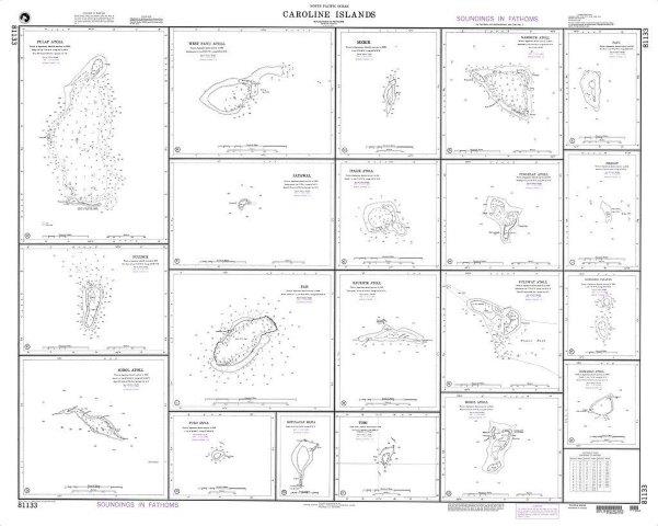
NGA Chart 81133: Caroline Islands Plans: H. Pingelap Atoll
Part No:NA
IMPA:370823
NGA Chart 81133: Caroline Islands Plans: H. Pingelap Atoll
American Nautical Services, Inc.
Serves 54 ports
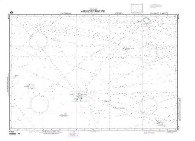
NGA Chart 81019: Kosrae Island to Ngatik Atoll
Part No:NA
IMPA:370823
NGA Chart 81019: Kosrae Island to Ngatik Atoll
American Nautical Services, Inc.
Serves 54 ports
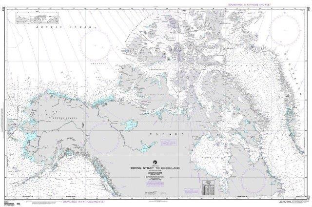
NGA Chart 803: Bering Strait to Greenland (Arctic)
Part No:NA
IMPA:370823
NGA Chart 803: Bering Strait to Greenland (Arctic)
American Nautical Services, Inc.
Serves 54 ports
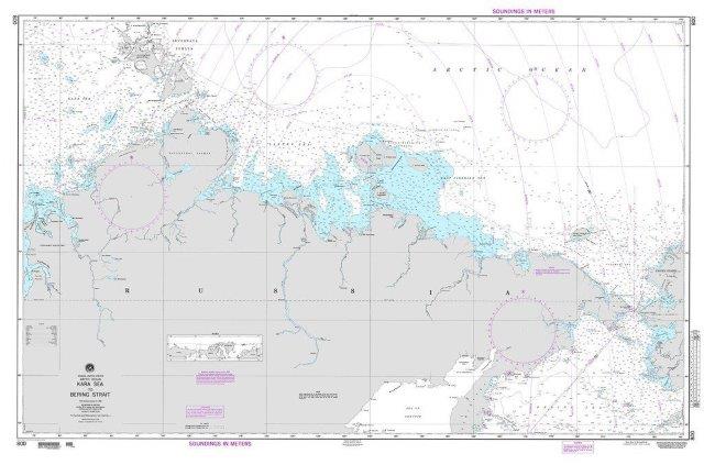
NGA Chart 800: Kara Sea to Bering Strait (Arctic)
Part No:NA
IMPA:370823
NGA Chart 800: Kara Sea to Bering Strait (Arctic)
American Nautical Services, Inc.
Serves 54 ports
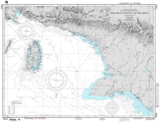
NGA Chart 73024: Merauke to Tanjung Van Den Bosch
Part No:NA
IMPA:370823
NGA Chart 73024: Merauke to Tanjung Van Den Bosch
American Nautical Services, Inc.
Serves 54 ports
NGA Chart 73004: Timor and Adjacent Islands
Part No:NA
IMPA:370823
NGA Chart 73004: Timor and Adjacent Islands
American Nautical Services, Inc.
Serves 54 ports
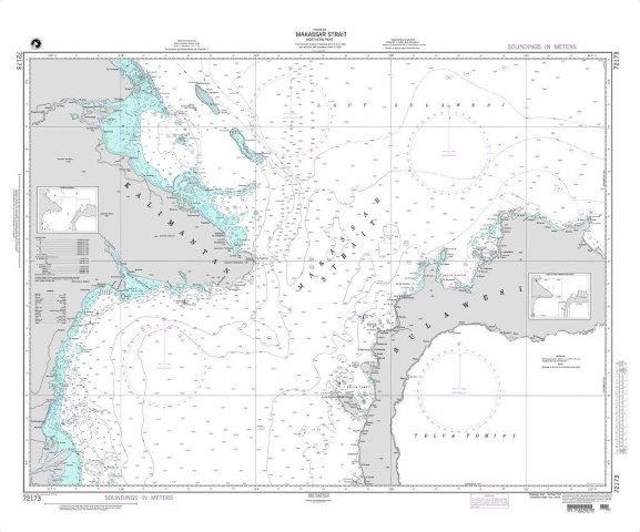
NGA Chart 72173: Makassar Strait-Northern Part
Part No:NA
IMPA:370823
NGA Chart 72173: Makassar Strait-Northern Part
American Nautical Services, Inc.
Serves 54 ports
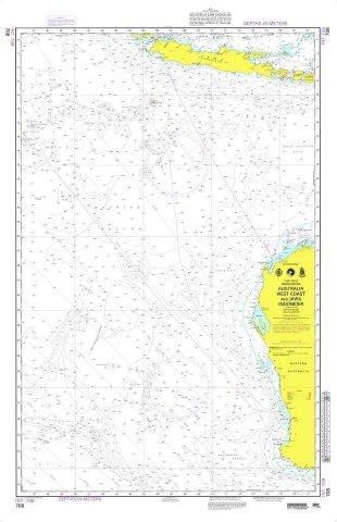
NGA Chart 708: Australia West Coast and Jawa Indonesia
Part No:NA
IMPA:370823
NGA Chart 708: Australia West Coast and Jawa Indonesia
American Nautical Services, Inc.
Serves 54 ports
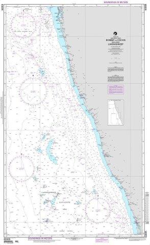
NGA Chart 63005: Bombay to Cochin including the Lakshadweep
Part No:NA
IMPA:370823
NGA Chart 63005: Bombay to Cochin including the Lakshadweep
American Nautical Services, Inc.
Serves 54 ports
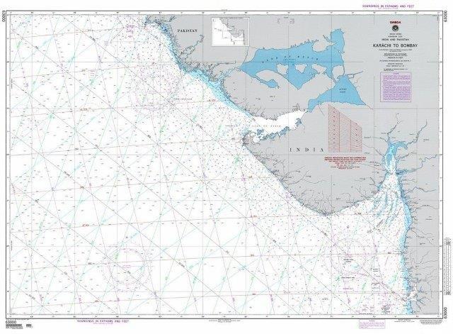
NGA Chart 63000: Karachi to Bombay, India and Pakistan (OMEGA)
Part No:NA
IMPA:370823
NGA Chart 63000: Karachi to Bombay, India and Pakistan (OMEGA)
American Nautical Services, Inc.
Serves 54 ports
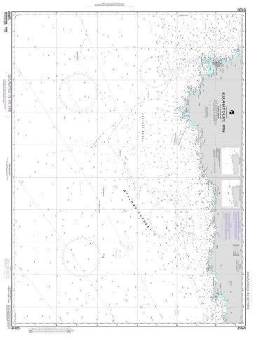
NGA Chart 61000: Algoa Bay to Cape Town
Part No:NA
IMPA:370823
NGA Chart 61000: Algoa Bay to Cape Town
American Nautical Services, Inc.
Serves 54 ports
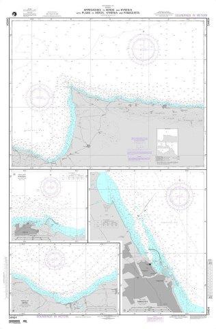
NGA Chart 54464: Approaches to Xeros and Kyrenia with Plans of Xeros, Kyrenia and Famagusta
Part No:NA
IMPA:370823
NGA Chart 54464: Approaches to Xeros and Kyrenia with Plans of Xeros, Kyrenia and Famagusta
American Nautical Services, Inc.
Serves 54 ports
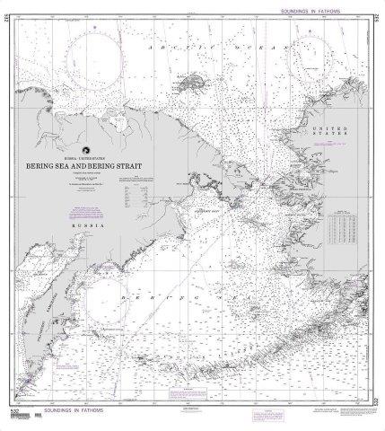
NGA Chart 532: Bering Sea and Bering Strait
Part No:NA
IMPA:370823
NGA Chart 532: Bering Sea and Bering Strait
American Nautical Services, Inc.
Serves 54 ports
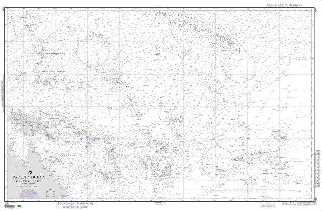
NGA Chart 526: Pacific Ocean (Central Part)
Part No:NA
IMPA:370823
NGA Chart 526: Pacific Ocean (Central Part)
American Nautical Services, Inc.
Serves 54 ports
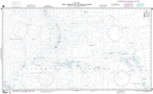
NGA Chart 525: Trust Territory of the Pacific Islands (Micronesia)
Part No:NA
IMPA:370823
NGA Chart 525: Trust Territory of the Pacific Islands (Micronesia)
American Nautical Services, Inc.
Serves 54 ports
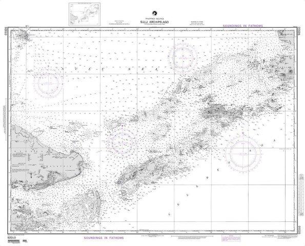
NGA Chart 92010: Sulu Archipelago (Philippines-Malaysia) (OMEGA)
Part No:NA
IMPA:370823
NGA Chart 92010: Sulu Archipelago (Philippines-Malaysia) (OMEGA)
American Nautical Services, Inc.
Serves 54 ports
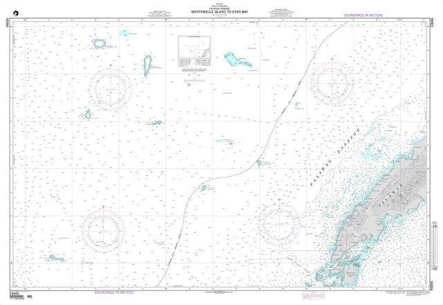
NGA Chart 93046: Mantangule Island to Eran Bay (Palawan Passage)
Part No:NA
IMPA:370823
NGA Chart 93046: Mantangule Island to Eran Bay (Palawan Passage)
American Nautical Services, Inc.
Serves 54 ports
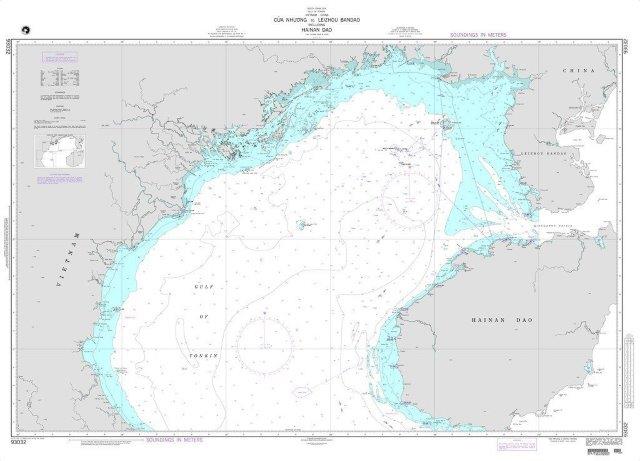
NGA Chart 93032: Cua Nhuong to Leizhou Bandao including Hainan Dao
Part No:NA
IMPA:370823
NGA Chart 93032: Cua Nhuong to Leizhou Bandao including Hainan Dao
American Nautical Services, Inc.
Serves 54 ports
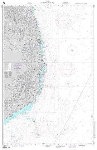
NGA Chart 93022: Mui Ke Ga to Mui Ba Lang
Part No:NA
IMPA:370823
NGA Chart 93022: Mui Ke Ga to Mui Ba Lang
American Nautical Services, Inc.
Serves 54 ports
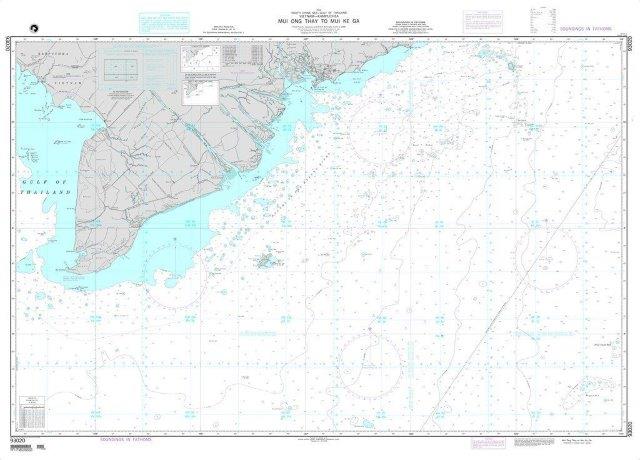
NGA Chart 93020: Mui Ong Thay to Mui Ke Ga (OMEGA)
Part No:NA
IMPA:370823
NGA Chart 93020: Mui Ong Thay to Mui Ke Ga (OMEGA)
American Nautical Services, Inc.
Serves 54 ports
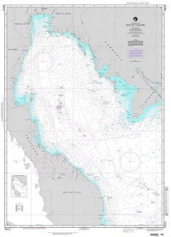
NGA Chart 93010: Gulf of Thailand (Southeast Asia)
Part No:NA
IMPA:370823
NGA Chart 93010: Gulf of Thailand (Southeast Asia)
American Nautical Services, Inc.
Serves 54 ports
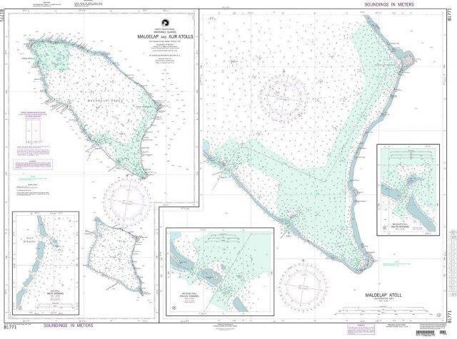
NGA Chart 81771: Maloelap and Aur Atolls (Marshall Islands)
Part No:NA
IMPA:370823
NGA Chart 81771: Maloelap and Aur Atolls (Marshall Islands)
American Nautical Services, Inc.
Serves 54 ports
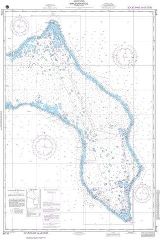
NGA Chart 81715: Kwajalein Atoll (Marshall Islands)
Part No:NA
IMPA:370823
NGA Chart 81715: Kwajalein Atoll (Marshall Islands)
American Nautical Services, Inc.
Serves 54 ports
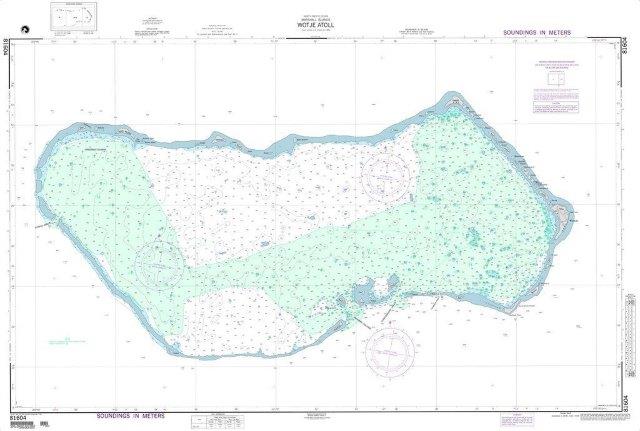
NGA Chart 81604: Wotje Atoll (Marshall Islands)
Part No:NA
IMPA:370823
NGA Chart 81604: Wotje Atoll (Marshall Islands)
American Nautical Services, Inc.
Serves 54 ports
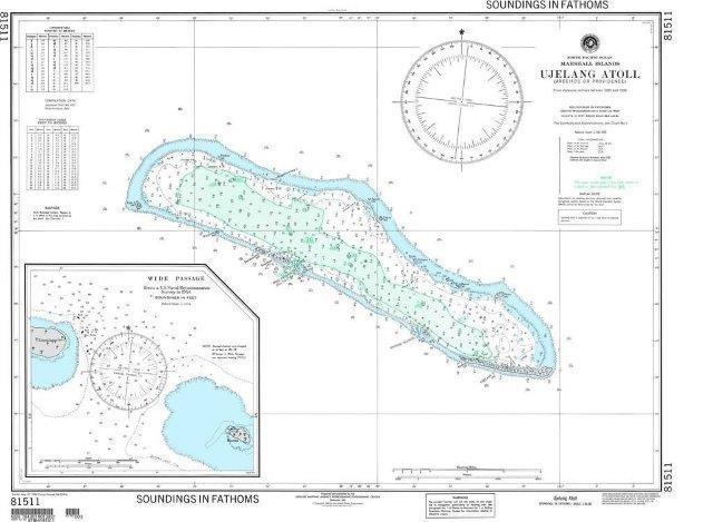
NGA Chart 81511: Ujelang Atoll (Arecifos or Providence) (Marshall Islands)
Part No:NA
IMPA:370823
NGA Chart 81511: Ujelang Atoll (Arecifos or Providence) (Marshall Islands)
American Nautical Services, Inc.
Serves 54 ports
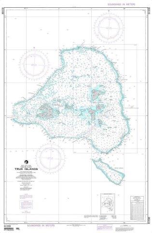
NGA Chart 81338: Truk Islands (East Caroline Islands)
Part No:NA
IMPA:370823
NGA Chart 81338: Truk Islands (East Caroline Islands)
American Nautical Services, Inc.
Serves 54 ports
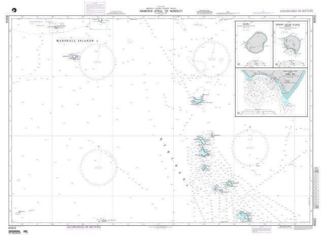
NGA Chart 81012: Namorik Atoll to Nonouti (OMEGA)
Part No:NA
IMPA:370823
NGA Chart 81012: Namorik Atoll to Nonouti (OMEGA)
American Nautical Services, Inc.
Serves 54 ports
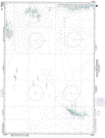
NGA Chart 81001: Mindanao to Palau Islands (OMEGA)
Part No:NA
IMPA:370823
NGA Chart 81001: Mindanao to Palau Islands (OMEGA)
American Nautical Services, Inc.
Serves 54 ports
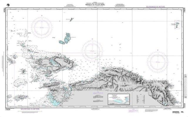
NGA Chart 73034: Waigeo to Teluk Dore
Part No:NA
IMPA:370823
NGA Chart 73034: Waigeo to Teluk Dore
American Nautical Services, Inc.
Serves 54 ports
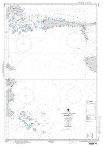
NGA Chart 73010: Kepulauan Tukangbesi to Kepulauan Sula
Part No:NA
IMPA:370823
NGA Chart 73010: Kepulauan Tukangbesi to Kepulauan Sula
American Nautical Services, Inc.
Serves 54 ports
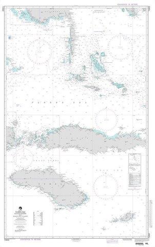
NGA Chart 73002: Flores Sea and Nusa Tenggara
Part No:NA
IMPA:370823
NGA Chart 73002: Flores Sea and Nusa Tenggara
American Nautical Services, Inc.
Serves 54 ports
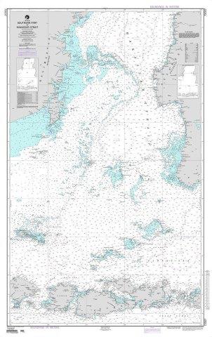
NGA Chart 72007: Southern Part of Makassar Strait
Part No:NA
IMPA:370823
NGA Chart 72007: Southern Part of Makassar Strait
American Nautical Services, Inc.
Serves 54 ports
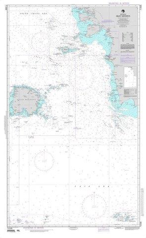
NGA Chart 71036: Selat Karimata
Part No:NA
IMPA:370823
NGA Chart 71036: Selat Karimata
American Nautical Services, Inc.
Serves 54 ports
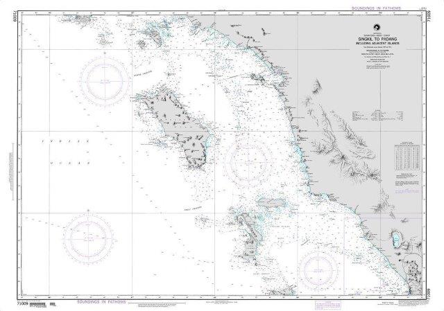
NGA Chart 71009: Singkil to Padang including Adjacent Islands (OMEGA)
Part No:NA
IMPA:370823
NGA Chart 71009: Singkil to Padang including Adjacent Islands (OMEGA)
American Nautical Services, Inc.
Serves 54 ports
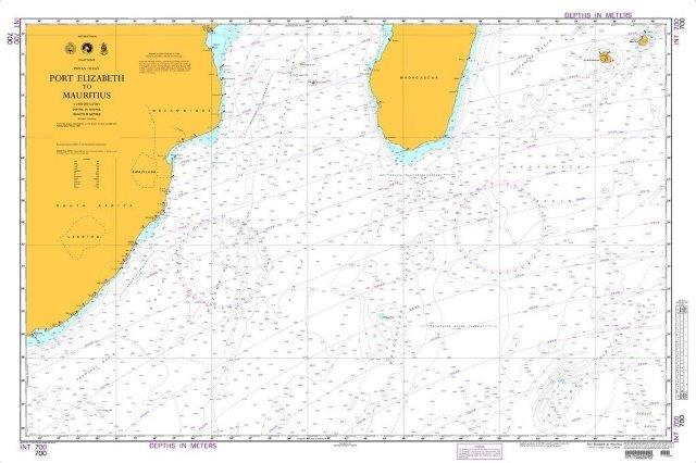
NGA Chart 700: Port Elizabeth to Mauritius
Part No:NA
IMPA:370823
NGA Chart 700: Port Elizabeth to Mauritius
American Nautical Services, Inc.
Serves 54 ports
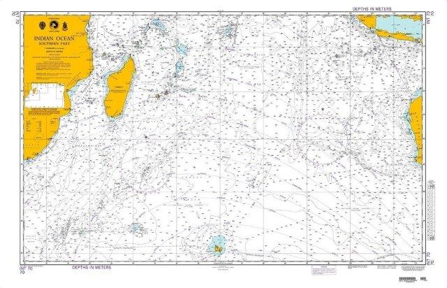
NGA Chart 70: Indian Ocean-Southern Portion
Part No:NA
IMPA:370823
NGA Chart 70: Indian Ocean-Southern Portion
American Nautical Services, Inc.
Serves 54 ports
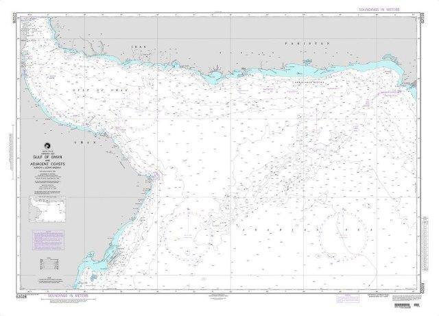
NGA Chart 62028: Gulf of Oman and Adjacent Coasts-Karachi to Jazirat Masirah
Part No:NA
IMPA:370823
NGA Chart 62028: Gulf of Oman and Adjacent Coasts-Karachi to Jazirat Masirah
American Nautical Services, Inc.
Serves 54 ports
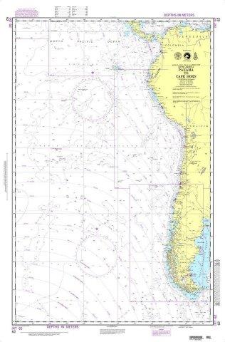
NGA Chart 62: Panama to Cape Horn
Part No:NA
IMPA:370823
NGA Chart 62: Panama to Cape Horn
American Nautical Services, Inc.
Serves 54 ports
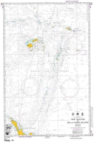
NGA Chart 605: New Zealand to Fiji and Samoa Islands
Part No:NA
IMPA:370823
NGA Chart 605: New Zealand to Fiji and Samoa Islands
American Nautical Services, Inc.
Serves 54 ports
About
Support
© 2026 ShipServ Limited